LESOTHO SOIL INFORMATION SYSTEM
Capability and
Suitability Assessment
The system that aids in distinguishing and recommending land capability based on best land capability classes owing to their morphology and physicochemical characteristics of a given area. Furthermore, aiming at evaluating land system for a specific defined agricultural use relative to suitability of the land for that use.
Soil
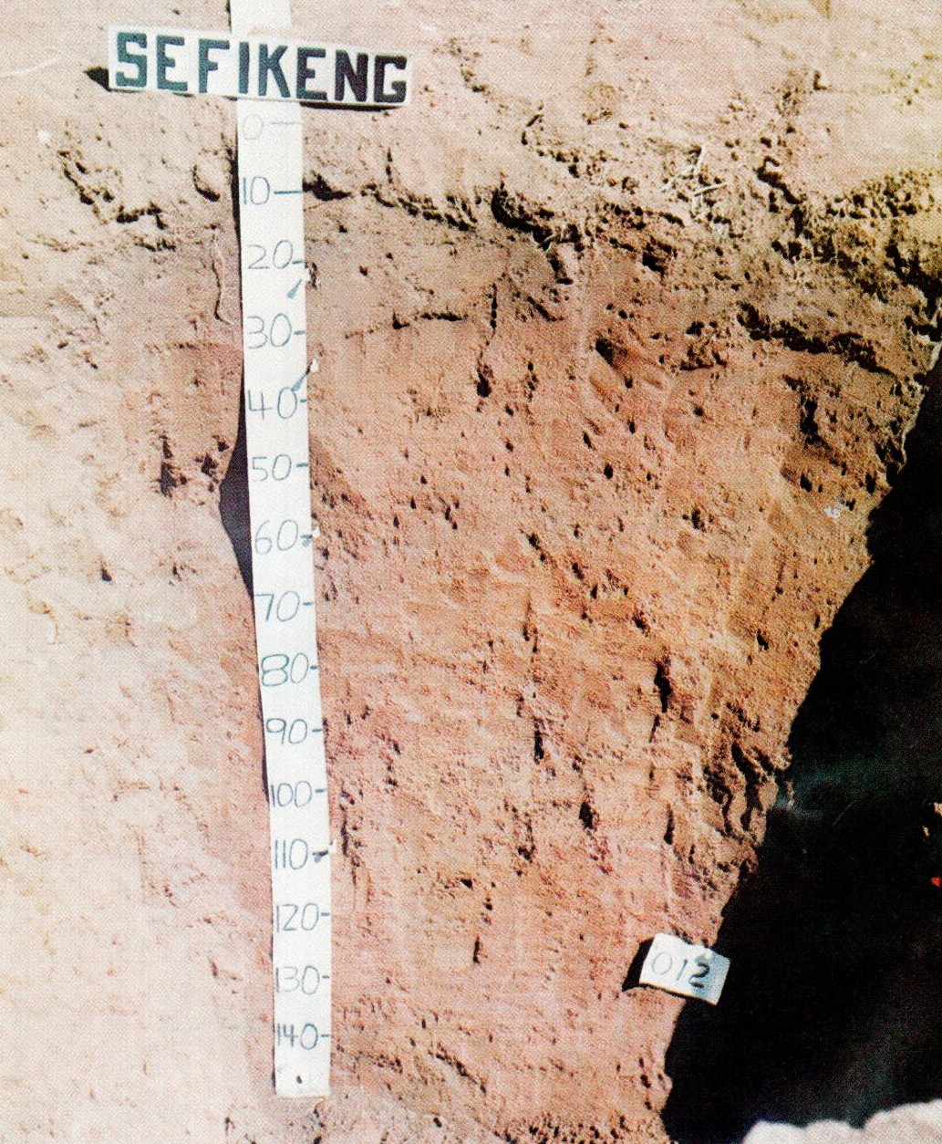
Survey and mapping
Undertake the inventory of soils occurring at a given area delineating them based on one or more properties, plotting their boundaries on a map, interpreting those properties relative to their management requirements, capabilities and use.
Crop
suitability Assessment
Provide guidance on emphasis to matching crops and or species to site attributed to soil analysis and testing and soil capability and suitability recommendations.
Soil and
Water Conservation
Awareness and advocacy and design and construction specifications of the measures (agronomic, vegetative and structural) applied to control runoff, channel flow, wind velocity, thus reducing soil erosion are of great importance in conservation measures for farmlands.
Soil Analysis and Testing:
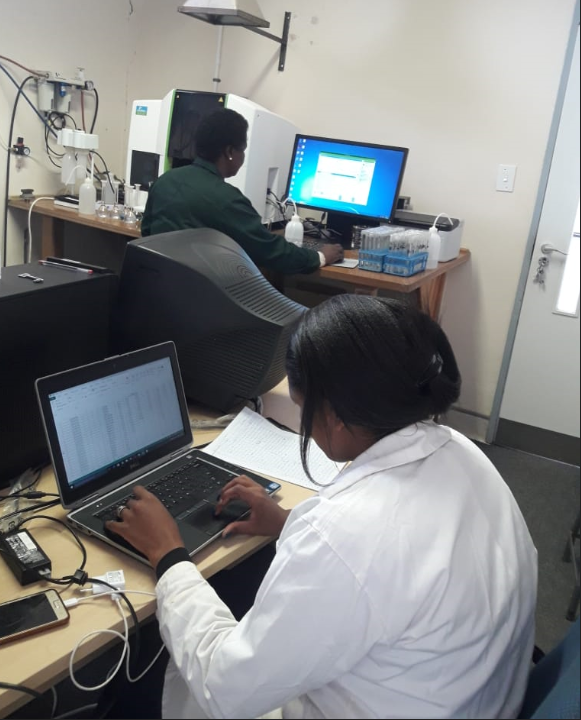
Provide sampling protocol and standards for soil testing and fertilizer and or lime recommendations. The primary concern relates to obtaining samples that accurately represents the field of interest.
Soil Loss
Assess current soil loss rates and relate them to economic losses. Several methods, quantitative and qualitative may be deployed based on site morphology.
Irrigation
and Water Harvesting
Provide guidance on soil water budget and connect it to assessment and harnessing of water resources available for needed water for irrigation, livestock, projects development and secondary domestic uses.
________
Design by: Mafereka L. letsekha.mafereka@gov.ls